In an effort to put the dwindling days of summer to good use, Steve, Cindy and I decided to spend the weekend backpacking locally in the Angeles Forest. After pouring over the limited information available on the internet we decided to go to Bear Creek Trail. Our guide book said that the trail was at mile marker 32.2 on the road, however at marker 28.7 we hit a barricade with a big "ROAD CLOSED" sign. Ignoring all warning signs, we decided that we were tough and would hike the remaining 3.5 miles on the road to the trail head. We packed up all our gear and headed up the deserted road only to at least reach mile marker 32.2 and find another surprise.
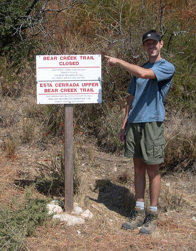
I guess we should have seen it coming, but no one ever accused 3 rocket scientists of being smart. So we at a quick lunch and headed back down the road to the car. Seven miles down and not sure yet where to go! Luckily my guide book showed plenty of trails in the adjacent in the Big Sheep Mountain Wilderness area. We took a quick drive over there (through what appeared to be a Confederate Jamboree) and found a lovely trail headed toward the Bridge to Nowhere along the East Fork of the San Gabriel River. Back in the '30s they built a road along the river and had a bridge spanning a particularly narrow section of the canyon. The Great Flood 1938 washed out the road but left the bridge all by its lonesome.
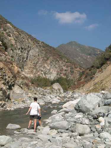
We were trying so hard not to get our boots wet in the river but it was inevitable and soon we were sloshing across knee-deep water. It was pretty slow going navigating all the rocks and chaparral so when we found a nice sandy spot we decided to setup camp instead of going all the way to the bridge that day. It felt good to get the boots off and let our feet dry!
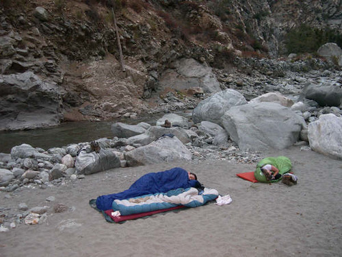
It was a lovely evening with cool air and no bugs so we decided to sleep out under the stars. It's hard to believe beautiful places like this are so close to LA! (Shhh, don't tell anyone)
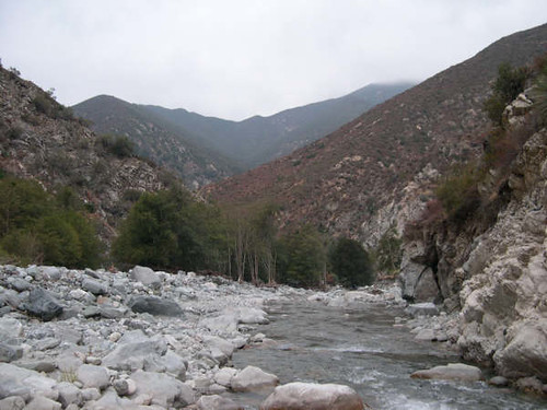
This is a picture looking at the river from our campsite. When we woke in the morning the mountains were shrouded in low clouds, which is far better than the alternative of 100+ temps.
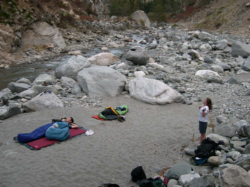
Here is another shot of our camp. I was testing out my new down sleeping bag which was feather light and toasty warm, but unfortunately poor Steve had a bad allergic reaction so I had to return it and get a synthetic one.
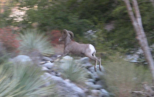
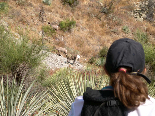
The next morning we decided to pack up camp but leave our bags and day hike out to the Bridge. On the way we came across a group of big horned sheep getting water at the river. Those suckers can move!
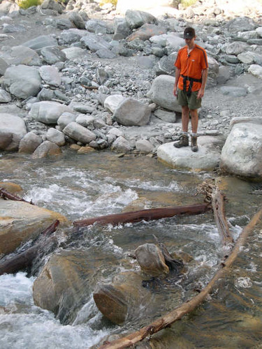
Even though our boots dried out pretty well overnight, we had to get them wet again to continue on the trail. I love this picture of Steve trying to engineer the exact best possible crossing spot…..
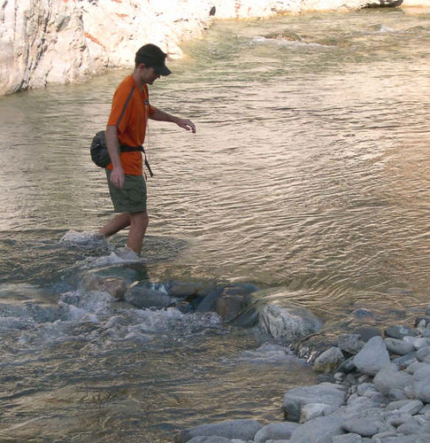
….'cause in the end you're just going to getting wet anyway!
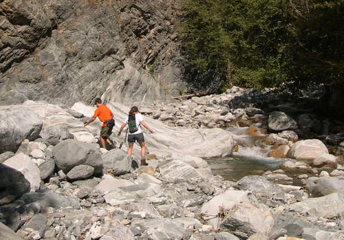
The further we went, the rockier the path got until we were scrambling along the river boulders. I'm glad that we left our packs at the campsite because otherwise this would have been very challenging. I can only imagine how much the river must swell in the spring after heavy rains!
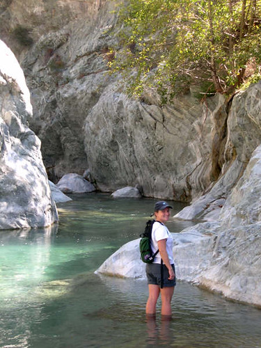
Just when we thought we should be at the bridge we came to a watery dead end. The canyon got very narrow with absolutely no shore to walk on, and the water was about chest deep. But where the heck is the bridge??? This was the question we pondered as we stopped to wade around in the water and take a quick lunch. Cindy was braver than I and did a flying canon ball into the frigid water!
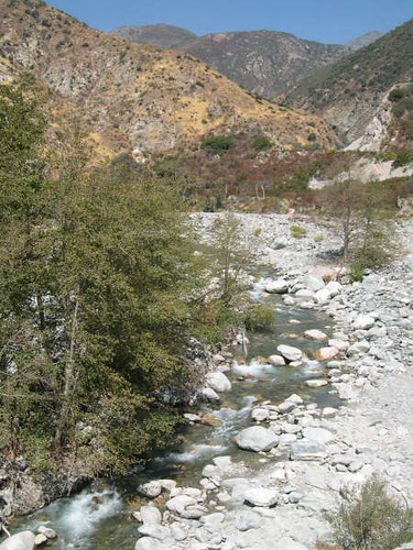
It wasn't until heading back that we realized we were never on the trail while we sploshed along the river. The real trail was a hundred feet above us, cut into the canyon wall. Ah-ha, this explains why we never found the bridge. Once we found the real trail we were able to go much faster. This is looking down on the river where we had walked earlier in the morning.
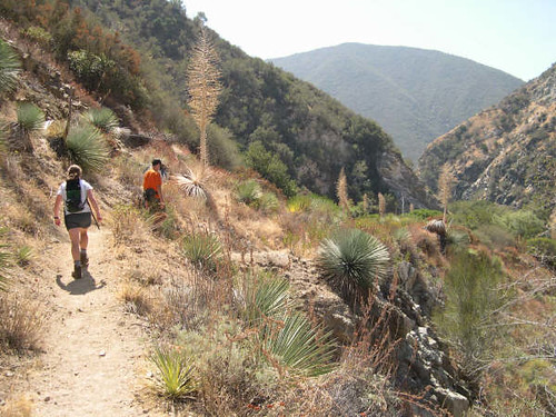
We went back to pick up our packs and headed back down the trail to the car. All in all a very pleasant and soggy weekend adventure. I highly recommend this hike!
